


40 Mile Loop Land Trust
40 Mile Loop Land Trust
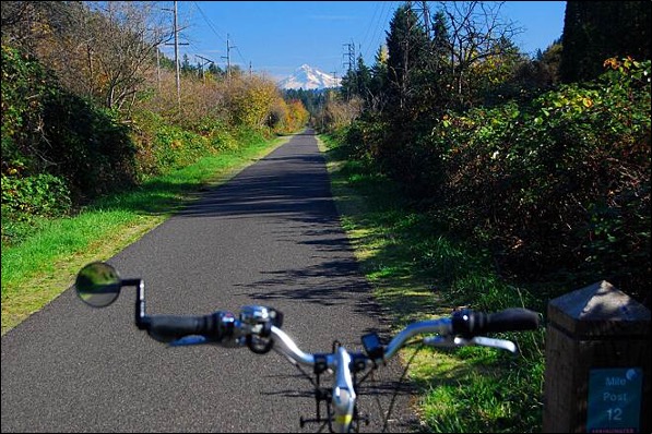
Springwater Corridor_Courtesy Rails-to-Trails Conservancy
The 40 Mile Loop Land Trust is an all-volunteer organization dedicated to the completion of a 150-mile-long trail system that connects Portland, Oregon, and four other cities in Multnomah and Clackamas Counties. The “40 Mile Loop” is the name of the trail system as a whole, while individual trail segments carry other identifying names. The term “40 Mile Loop” is derived from a system of parkways, first conceived by John Charles Olmsted as an important part of his Proposed System of Parks for Portland, Oregon, submitted in 1903. The Olmsted parkway system was only partially completed, but would have measured 40 miles had it been fully realized.
In the late 1970s, the Olmsted Plan was revived as part of an effort to provide recreation opportunities close to home for all people in a rapidly developing urban area. The 40 Mile Loop Master Plan was published in May of 1983, and the 40 Mile Loop Land Trust has been working continuously since that time to complete the trail system. Today, the 150-mile system is approaching 70% completion.
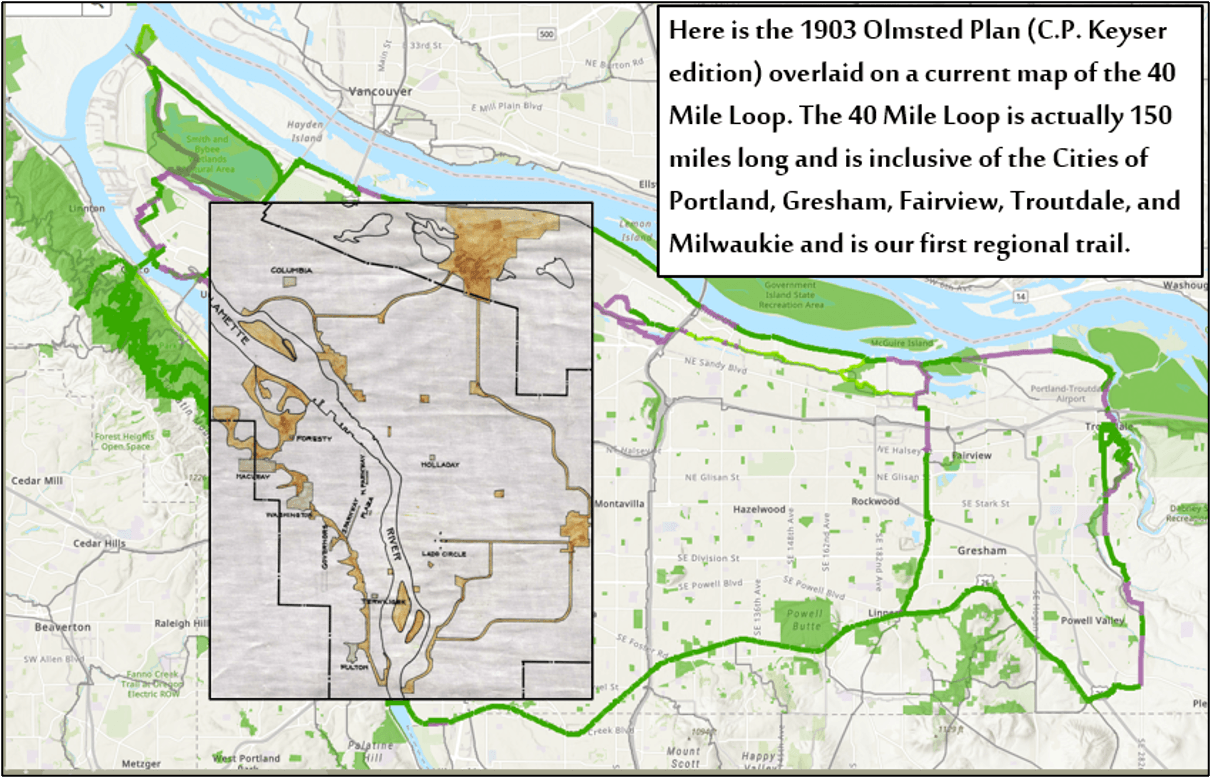
40 Mile Loop Map with 1903 Olmsted Plan overlaid. Image courtesy of 40 Mile Loop Land Trust.
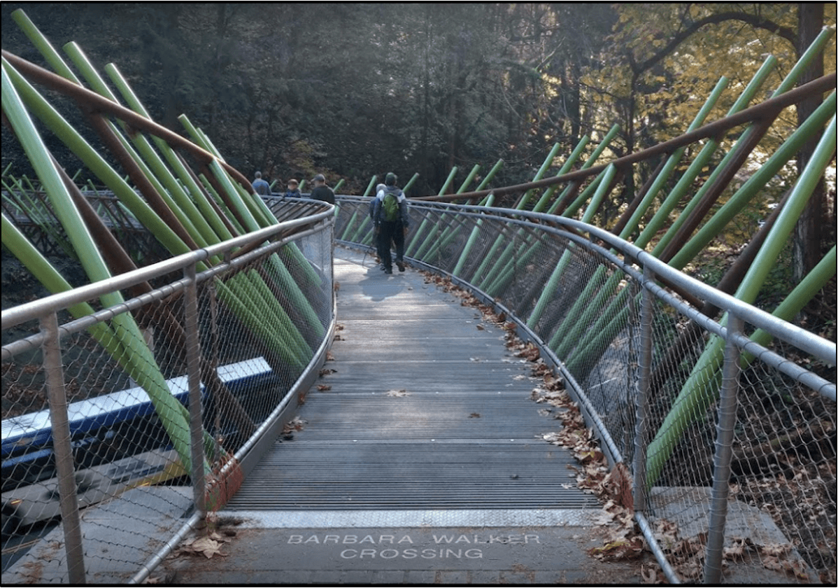
Barbara Walker Crossing. Photo courtesy of Brightworks Sustainability.
Springwater Corridor. Photo courtesy of Rails-to-Trails Conservancy.
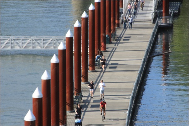
Vera Katz Eastbank Esplanade. Photo courtesy of KPFF.