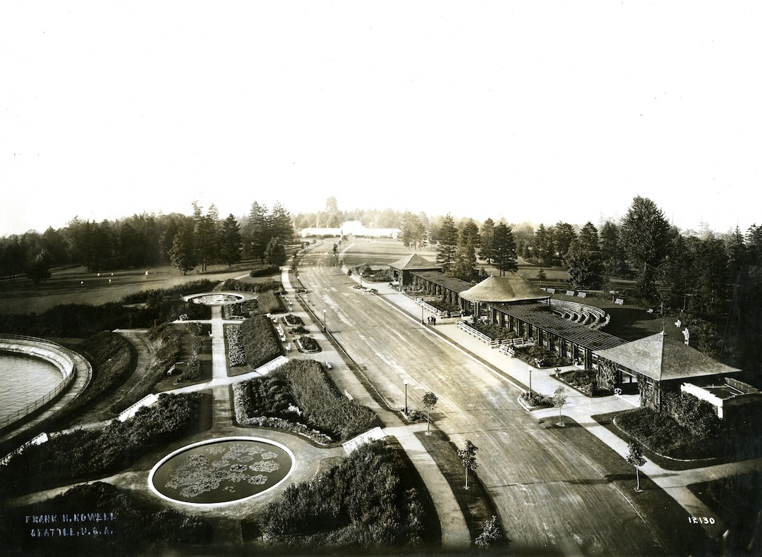


About Interlaken Boulevard
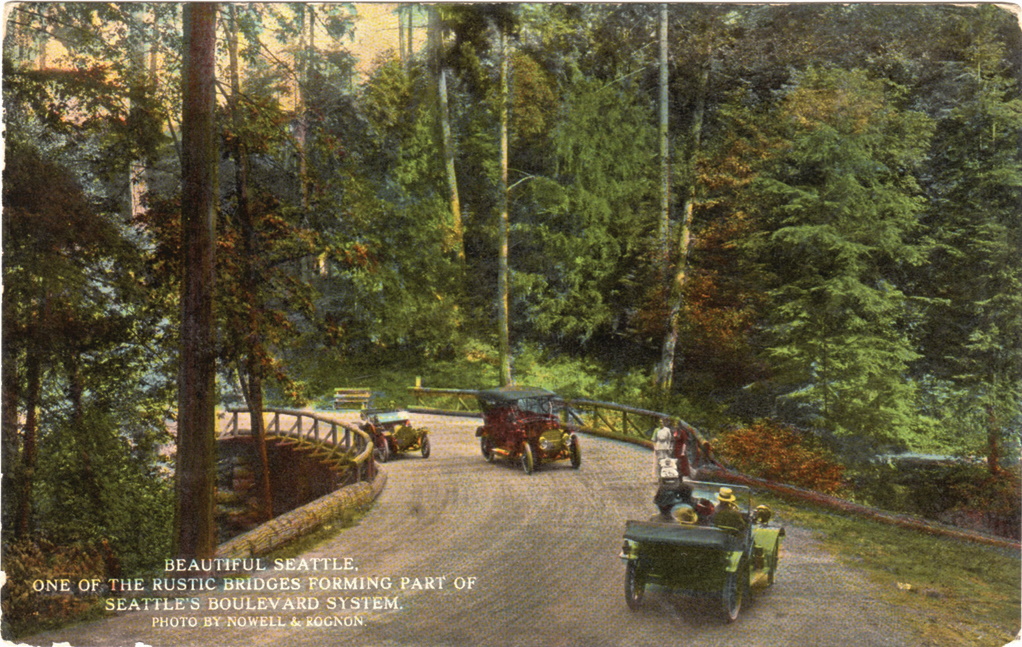
Interlaken Boulevard, laid out along the lines of an early bicycle path as part of implementing the 1903 Olmsted plan, runs a shady 3 miles westward off Lake Washington Boulevard, along the north face of Capitol Hill, to 19th Avenue East. One branch travels up the ravine to 19th Avenue East and East Galer; the other proceeds to Delmar Drive, approaching Roanoke Park.
The only plan 02713-1 in the file shows the west approach to the Roanoke overlook at the west end of the intended boulevard. Other related plans and notes can be found in Jobs 02690 Seattle Parks System, 02699 Washington Park and 02717 Delmar Park Addition, a plat near the middle of the boulevard.
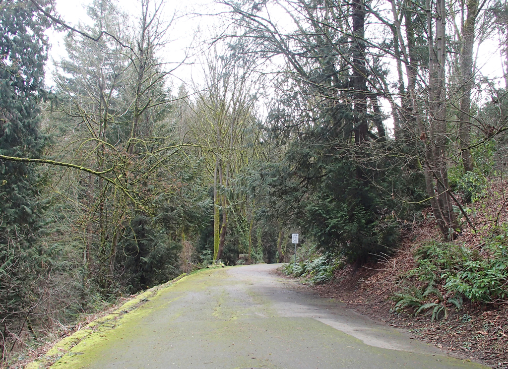
One can still experience the boulevard in sections. The first from Lake Washington Boulevard to 24th Avenue East and a second section from 24th to 21st Avenues East. The section of boulevard between 21st and 19th Avenues East has been closed to vehicular traffic since the roadbed was impacted by unstable soils. The boulevard continues as a walking and bicycling route in this section and then reconnects with the vehicular sections on the west. For vehicles the best route to experience the native forest can be found as it winds down the hill from Galer Avenue East at 19th to Delmar Drive East. Ultimately the boulevard was intended to connect to an overlook at Roanoke Street (02713-1). The reconstruction of SR520 incorporates a park lid that helps reinstate such a viewpoint.
From Roanoke Park the boulevard system was intended to travel along the west slope of Capitol Hill towards downtown. Sections of this boulevard can still be experienced along Lakeview Boulevard East from Howe to Belmont Streets.