
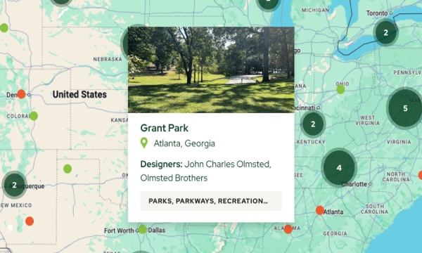
About Mount Baker
Mount Baker Park Addition is a subdivision overlooking Lake Washington developed by Daniel Jones. John Charles Olmsted was asked to consult and give advice to Cotterill about the project. One of the significant aspects of the development was that the property lines along the lake were held back and a border of land was donated for park purposes to the City. This secured that the lake shoreland would not be privately developed when the lake was lowered and would be used for park and boulevard consistent with the 1903 Olmsted plan.
The subdivision also accomplished other aspects of the 1903 Olmsted plan by having Lake Park Drive South and the adjacent parkland of Mount Baker Park connect Lake Washington Boulevard and Mt. Baker Boulevard as part of the boulevard spur to Beacon Hill. Mount Baker Boulevard forms a wide, winding swath of green through the neighborhood connecting to Rainier Valley and on to Cheasty Boulevard which then ascends through woodland to Jefferson Park on the top of Beacon Hill.
Olmsted advised on some of the parks and boulevards within the subdivision including Hunter Boulevard and Lakewood Triangle, which was recently restored using Olmsted correspondence as guidance on intent. Olmsted wrote to Daniel Jones in his report, saying: “I can say, and I do it with pleasure, that the project as a whole seems to be intelligently conceived, and if the proposed park features are finally adopted, it will certainly be to your credit in respect to the liberal treatment of the public in park matters, as well as in providing for future residents lands to be used in common, and in which remarkably beautiful views of and across Lake Washington, not to mention views of the Olympic Mountains in the other direction, can be enjoyed.”