


About Muddy River
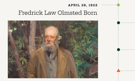
In 1881 Frederick Law Olmsted described his plan for the Muddy River as “a fresh water course bordered by passages of rushy meadow and varied slopes from the adjoining upland; trees in groups, diversified by thickets and open glades.” In order to achieve this vision, the river “would be reduced in width by artificial banks” and dramatically altered over a 15-year period. Flowing from Jamaica Pond (00920), through the Fens – Back Bay (00916), and into the Charles River, it provided the general course for an adjacent parkway, known as The Riverway. The narrow park “would complete a pleasure route from the heart of the city a distance of six miles into the suburb.” Olmsted collaborated with botanist Charles Sprague Sargent, choosing predominantly native plants for the planting plan.
In 1959 the southern portion of the Muddy River was taken for a parking lot for the Sears CO. Headquarters, the park paved over with the river piped through underground culverts. This led to extreme flooding in 1996, causing severe damage to the surrounding area where notable cultural, medical and educational institutions are located. While restoration efforts are still ongoing, a major project to ‘daylight’ the river was completed in 2016.
[Suggestions for the Improvement of Muddy River_1880-12_Papers of FLO-v.7-p.518&521] [FLO to Charles Henry Dalton_1881-12-29_Papers of FLO-v.7-p.569]