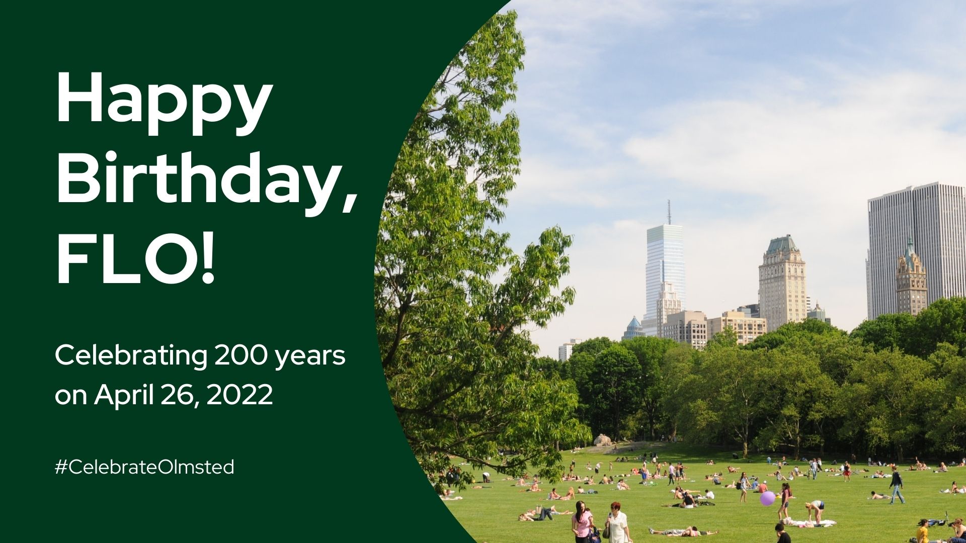

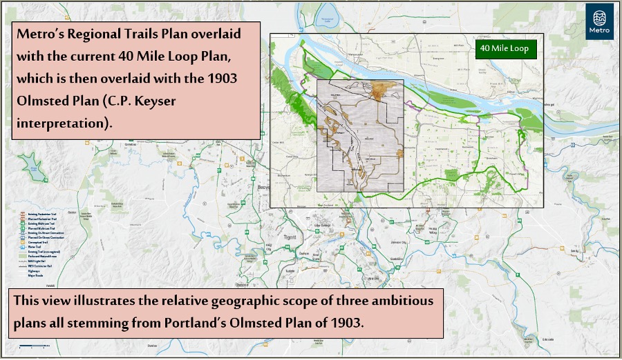
2023 is the 40th anniversary of Portland, Oregon’s 40 Mile Loop Master Plan, a plan rooted in the City’s Olmsted legacy. John Charles Olmsted’s 1903 report and parks plan submitted to Portland’s Mayor and Park Board recommended a system of parks connected by roughly 40 miles of parkways and tree-lined boulevards. For nearly 50 years, the Olmsted plan was followed diligently by Parks Superintendents Emanual Mische and C. P. Keyser. Their efforts were hampered by lack of funding and interrupted by the Great Depression and World War II. Nevertheless, they yielded many of Portland’s most beautiful parks and about 11 miles of Olmsted parkways in ten locations around the city.
The idea of a connected system of parks stalled and lay dormant until the mid-1970’s. Then, gasoline shortages impacting public mobility motivated a group of parks leaders to develop ideas for close-to-home recreation. The Olmsted plan was rediscovered and the idea of connecting parks, natural areas, and town centers with a system of trails and multiple use pathways was revived and extended to all of urbanized Multnomah County. The resulting 1983 40 Mile Loop Master Plan called for a trail and path system connecting five local governmental jurisdictions. While the renewed vision was 140 miles in length, the name “40 Mile Loop,” originating from Olmsted’s 1903 document, remained attached to this much more ambitious project.
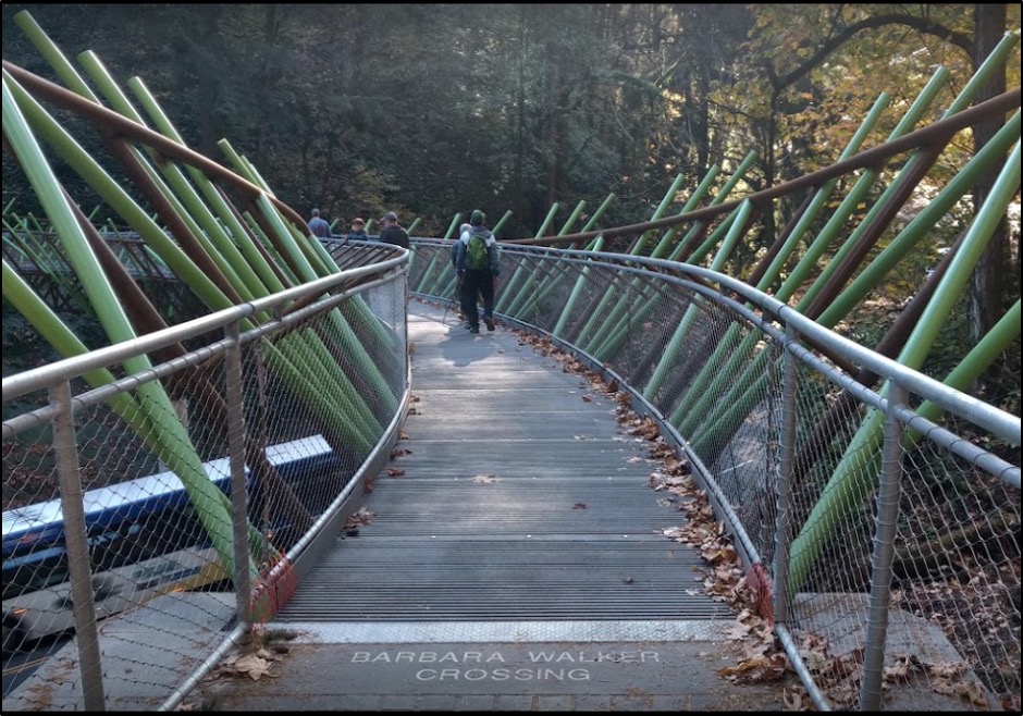
The 40 Mile Loop is a network of trails, each bearing its own name and offering its own unique experience. The Wildwood Trail is a 30-mile-long pedestrian trail that traverses Hoyt Arboretum and Forest Park, the nation’s largest forested park within city limits. The Springwater is a multiple use path that follows Johnson Creek, crossing it ten times before reaching the Willamette River, then following the river to downtown Portland. The Vera Katz Eastbank Esplanade continues north along the Willamette in the heart of the city for two miles. The enormously popular Esplanade features a floating walkway, two swimming docks, and classic city and river views. The Gresham-Fairview Trail (soon to be 83% complete) is a multiple use path paralleling Fairview Creek which will connect the Springwater to the Marine Drive Trail. Marine Drive Trail (soon 89% complete) follows the Columbia River for 22 miles from the Sandy River flowing off Mt. Hood to the Columbia’s confluence with the Willamette at Kelley Point Park. While the majority of the Loop is designated for multiple uses, the Wildwood and Marquam Trails are designated for foot traffic only. In a very few places, and where other traffic is light, the Loop uses local streets and sidewalks to make connections.
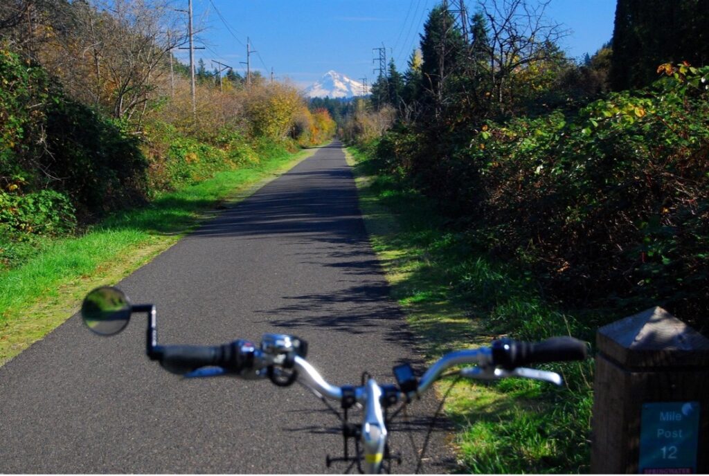
The development of the 40 Mile Loop has occurred opportunistically, as time and resources have allowed. The acquisition of the Springwater Trail, an essential element in the 40 Mile Loop today, is emblematic of this approach. Opened in 1903 as a commuter trolley line, by the late 1980’s the Springwater rail line had only one commercial customer. In the mid-1980s, the Oregon Department of Transportation (ODOT) was planning a highway improvement that would have required the replacement of the Springwater’s rail bridge over the highway at a very high cost. ODOT had heard that the City of Portland wanted to acquire the rail line to make it part of the Loop. If the rail line were abandoned, ODOT could save millions in project expenses as the rail bridge would no longer be necessary. ODOT project planners contacted staff in the office of Portland City Commissioner in charge of Parks, Mike Lindberg, to see if the City could accomplish its acquisition of the rail line before highway construction began. Lindberg staffer Ethan Seltzer suggested to ODOT that if ODOT bought the line and gave it to the City, the highway project would still save over a million dollars. ODOT embraced the idea, Portland got its rails-to-trails project, and for about $30,000 in legal fees, Portland received a 17-mile-long corridor essential to completing the entire south section of the Loop. The acquisition was completed in 1990, and in 1996 the Cities of Portland and Gresham opened the Springwater Corridor as a multiple use path. Subsequent projects in 2005 and 2006, funded through Metro, the regional government, extended the Springwater another 3.6 miles toward downtown Portland.
In 2022, six 40 Mile Loop projects were funded through a competitive process for Metro bond measure and federal transportation funds. The total allocation for the six projects is just over $20 million, making 2022 the Loop’s biggest funding year since the development of the Eastbank Esplanade in 2001. With every gap closure, the 40 Mile Loop system becomes more usable and more valuable for citizens in the Portland region. Including what is currently funded, the 40 Mile Loop will soon be over 73% completed. As the second iteration of John Charles Olmsted’s vision for a connected system of parks, the 40 Mile Loop seems destined for full implementation.
The success of the 40 Mile Loop and the development of similar trail projects across the country have inspired Metro and local governments to plan and build a regional trail system around the 40 Mile Loop. This regional trail system, which could be considered the third iteration of Portland’s Olmsted legacy, will one day connect the entire Portland-Vancouver metropolitan region with a 500-mile system of trails and multiple use pathways.