About Montlake Boulevard
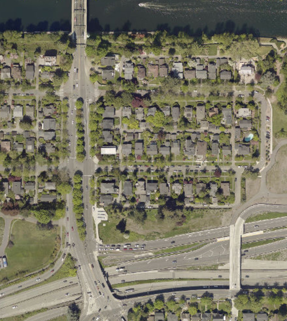
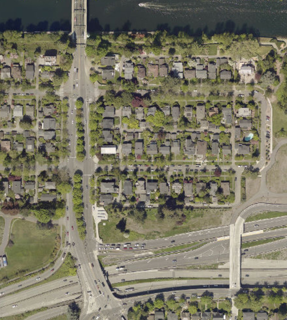
Montlake Boulevard was called University Boulevard by John Charles Olmsted when he wrote up his recommendations in early 1909 for the section from Portage Bay to the University (see job 02690 correspondence). For trees he suggested four rows of tall Tulip tress in line with the trolley polls. He envisioned the street car tracks would be set into the turf of the central “parking strip.”
The boulevard was to be the grand automobile entrance to the Alaska-Yukon-Pacific Exposition (AYPE) (job 02739) connecting north from Lake Washington Boulevard. Olmsted had initially envisioned the boulevard continuing along the lake shore rather than bi-secting the neighborhood. Olmsted has hoped that the boulevard system would continue through the University grounds and connect north and then west to Green Lake. A connection through the University was never formalized although for several decades after the AYP one could enter the campus from the south and connect to the circuit drive of Stevenn’s Way Olmsted had laid out for the AYPE.
After the Exposition, John Charles was again asked to reommend plans for the Univeristy of Washington grounds (job 00346). There are drawings (plans 00346-16 and 00346-36) of the continuation of Montlake Boulevard north and eastward along the shoreline as a divided boulevard, These plans reflect the anticipated new shore land created by the lowering of the Lake Washington once the Ship Canal Locks were opened.
When State Route 520 was built, the southern section of the boulevard was impacted by the construction, losing its landscaping and median in order to accomodate the new structure needed for crosssing over SR520. Now that SR520 is being expanded, the boulevard is being substantially impacted again.