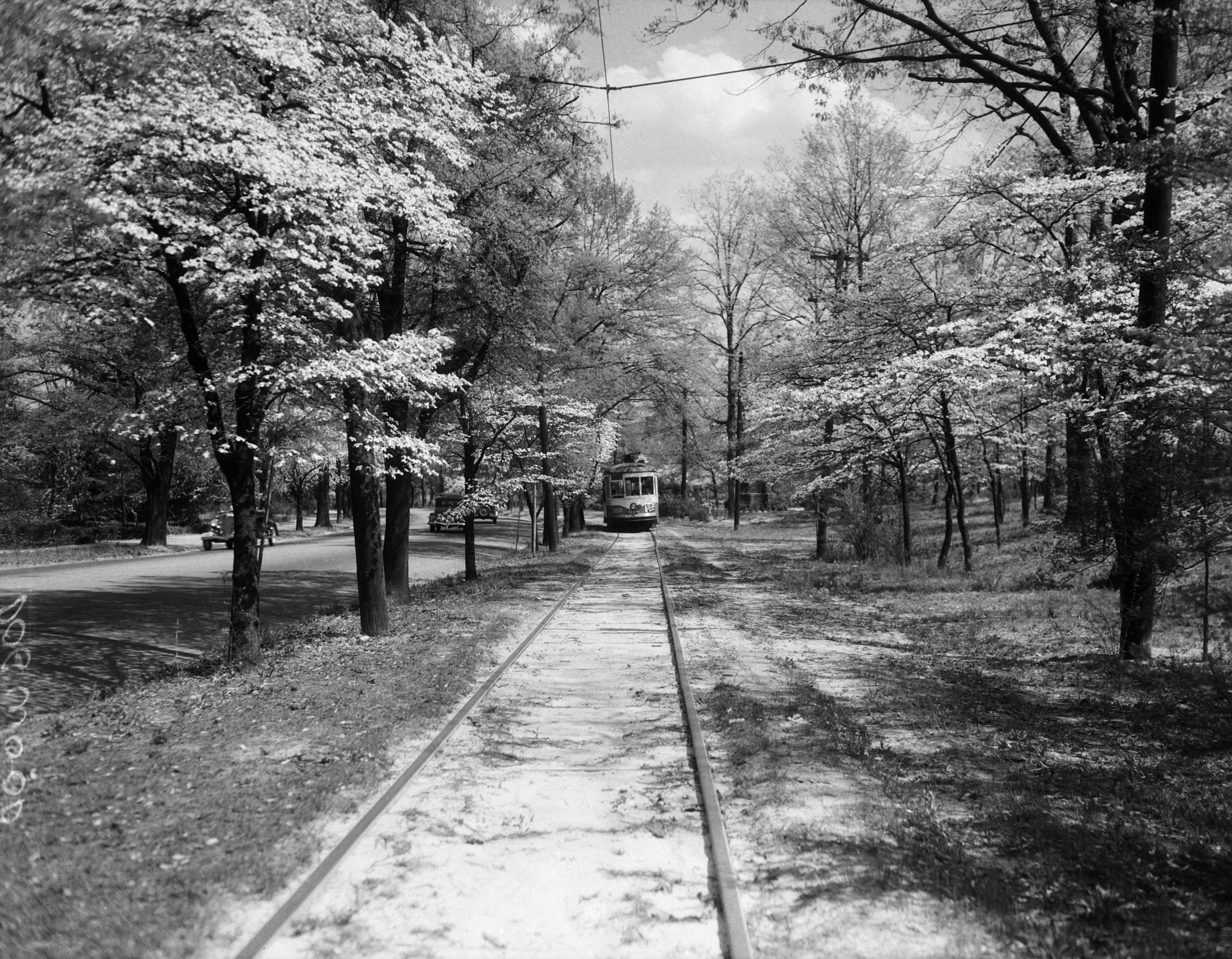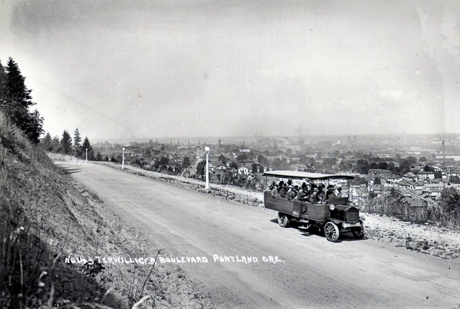
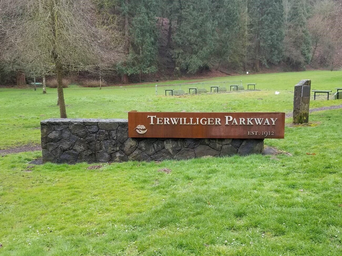
Terwilliger Parkway is a 2.5-mile linear forest corridor in southwest Portland, Oregon. Winding along the hillside, the roadway is laid out with a focus on grace and ease. Along its route the parkway encompasses the road itself with striped bicycle lanes, regular curbing, a pedestrian pathway, distinctive globe lights, regular parking pulloffs, and a border of secondary growth forest, ornamental lawns and shrubbery, and various scenic viewpoints. Facing out to the northeast, east, and southeast, these points provide expansive views of the city, Mt. Hood, Mt. St. Helens, the Willamette River, and the forest through which the parkway runs. A comfort station is the only building on parkway land.
Envisioned by John C. Olmsted and implemented by his associate and Portland’s first Park Superintendent, Emanuel T. Mische, the road and bordering park land represent a “scenic parkway” design influenced by the City Beautiful Movement that flourished around the turn of the twentieth century, in marked contrast to the newer boulevard and interstate that replaced the Parkway as a primary means of travel. In contrast to these larger highways – which are characterized by their high speeds, multiple lanes, long straightaways, low elevation, and roadside development – Terwilliger Parkway is characterized by slower speeds, a curvilinear course following the contours of the hills, and most notably by a guiding emphasis on facilitating opportunities to leisurely enjoy scenic vistas and outdoor recreation made possible by a wooded buffer zone keeping development at a distance.
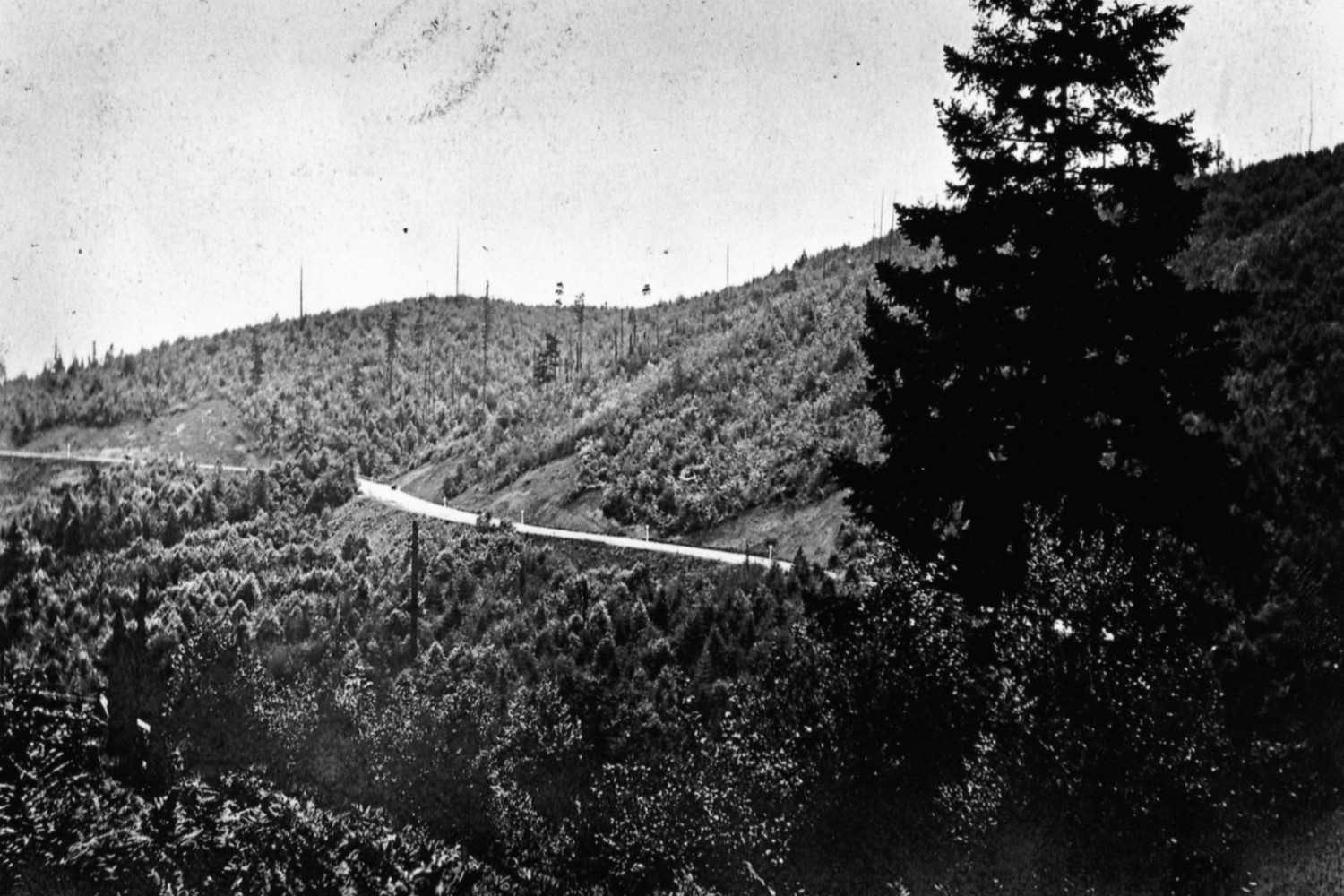
The initial story of Terwilliger Parkway begins in the late 1890s when a comprehensive park plan was first explored by the new Portland Board of Park Commissioners. Commissioner Dr. Thomas Lamb Eliot had a relative in the Olmsted, Olmsted & Eliot firm, and fellow commissioner Ion Lewis had previously worked with the firm, making the Olmsteds a natural choice for designing the envisioned park plan, especially when it was learned that fair boosters were also interested in hiring the firm to design the grounds for the upcoming Lewis and Clark Exposition. Initial contact was made in 1898, and John C. Olmsted thereafter arrived in Portland to work with the city. Completed in 1903, his report laid out a park plan including a southwest hillside parkway as well as an important statement of the firm’s philosophy of connecting parks via scenic, park-like drives (no drawings were included, as they were not in the Commission’s budget). The first plan was drawn the following year by city staff and incorporated the Olmsted philosophy.
Progress continued in the following years as land was acquired for parks around the city. Olmsted then returned to Portland to map the parkway and survey the newly acquired property. It is his 1909 plan that established the boundaries that have continued largely intact to this day.
At the same time, the city felt there was now enough work to warrant a full-time park superintendent, and Emanuel T. Mische was hired into this role in 1908. Mische had worked with the Olmsted firm on various projects, including the Biltmore Estate. He had recently been appointed park superintendent in Madison, Wisconsin, but decamped to Portland after he was recommended for the superintendent position by Olmsted himself. With Mische’s expertise and understanding of the Olmsted model, he was able to continue the work on the parkway and larger park plan without the direct involvement of Olmsted. Construction began by 1910 and borrowed liberally from the earlier Olmsted plan. Because so much of the land had been clear cut, Mische also planned an “informal — that is, irregular and ‘natural’ in the Olmstedian manner — planting scheme for the parkway which mixed the more densely forested areas of native landscape with maintained areas of mowed lawns and shrubberies, providing for a purposely designed balance of forest cover and open space.”1
By 1912, the northern section of the parkway was completed and the road dedicated by the Elks Club, who were in town for their national convention. The road was declared officially complete in 1914. Trying to save money in 1917 by turning the maintenance-heavy parkway over to the county, the city was stopped by land donors who reminded that the land was donated with the stipulation that it “be forever used as a boulevard and parkway, for the benefit and use of the public.”2 The donors’ threat of taking back their land was so severe that the city ended up paving the entire road in concrete instead of selling it off.
Relatively minor changes have occurred since then. The Parkway was added to the National Register of Historic Places in 2021 thanks to the efforts of the Friends of Terwilliger. Recent threats to the parkway’s historic character such as the addition of a light rail line have dissipated, but disinvestment has led to deterioration of some of the roadside’s distinctive globe lights and the loss of many views because of tree growth. A bright spot is the creation of a “nature patch” at Eagle Point, an important location on the original Olmsted plan because of its magnificent views, added to Parkway land in 2013.
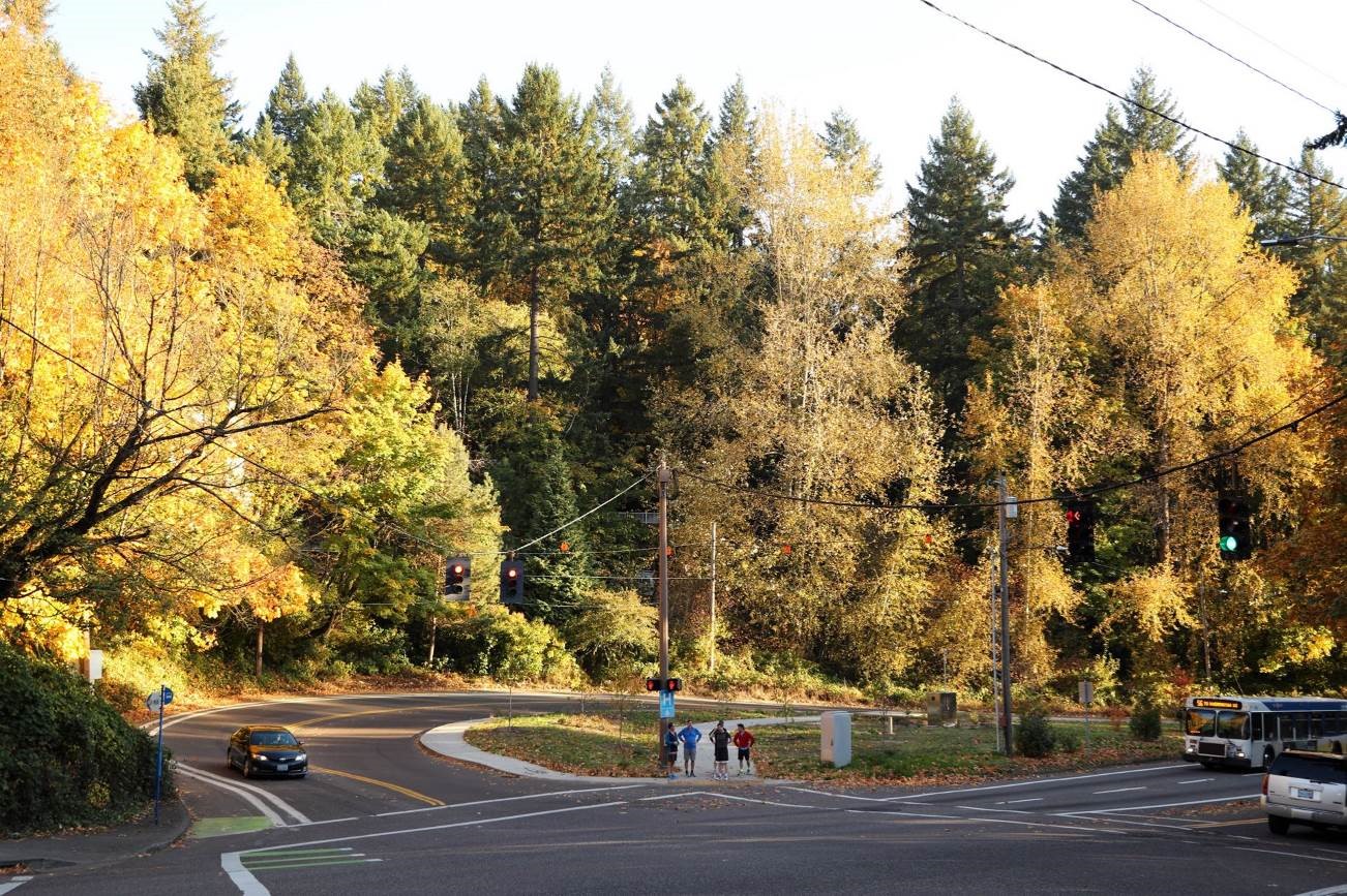
While the city below has grown, as the road’s planners knew it would, the parkway retains its original alignment and views and continues to provide motorists and pedestrians an opportunity to commune with the natural environment of the Pacific Northwest.
To learn more, please visit the Friends of Terwilliger website or dive into the history through the National Register nomination.
Jeremy Ebersole is currently the Communications Specialist for The Landmark Trust USA. He completed this short format documentation of Terwilliger Parkway as a graduate student at the University of Oregon, for the Historic American Landscapes Survey Challenge: Olmsted Landscapes in 2022. This documentation, slightly edited for the blog, received a certificate from the National Association for Olmsted Parks for Submission by a College or Graduate Student. The HALS documentation will be available through the Library of Congress in 2024.
1 Anton Vetterlein, Wesley Risher, and Jeremy Ebersole, “Terwilliger Parkway,” National Register nomination draft, written 2019.
2 Ibid.


